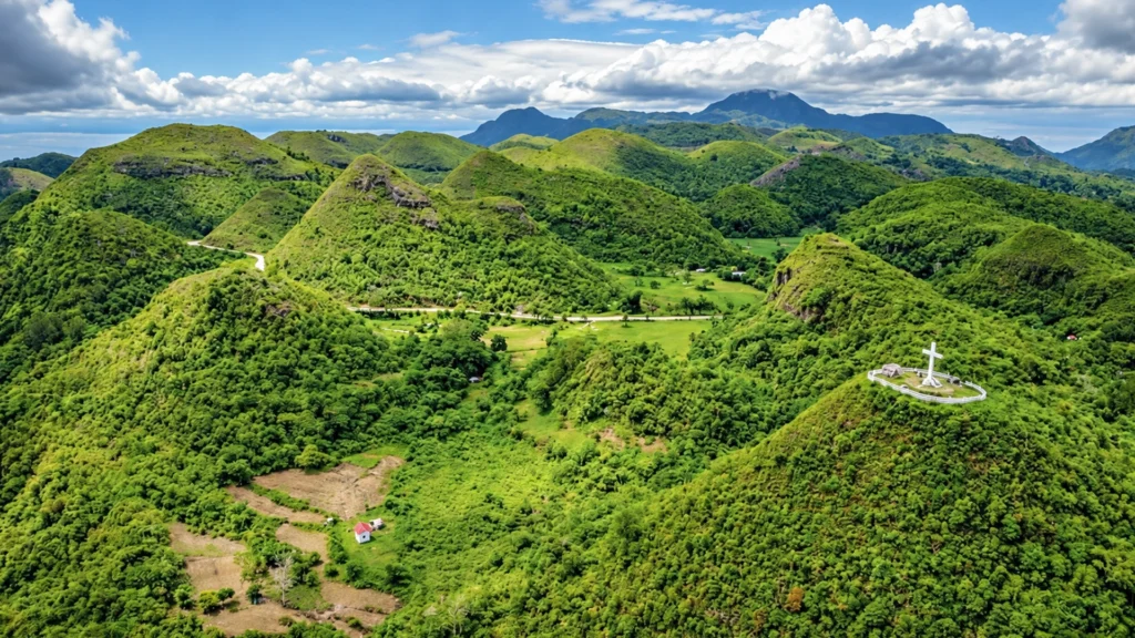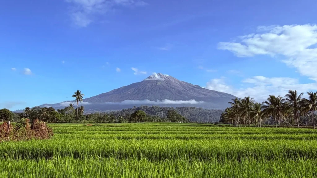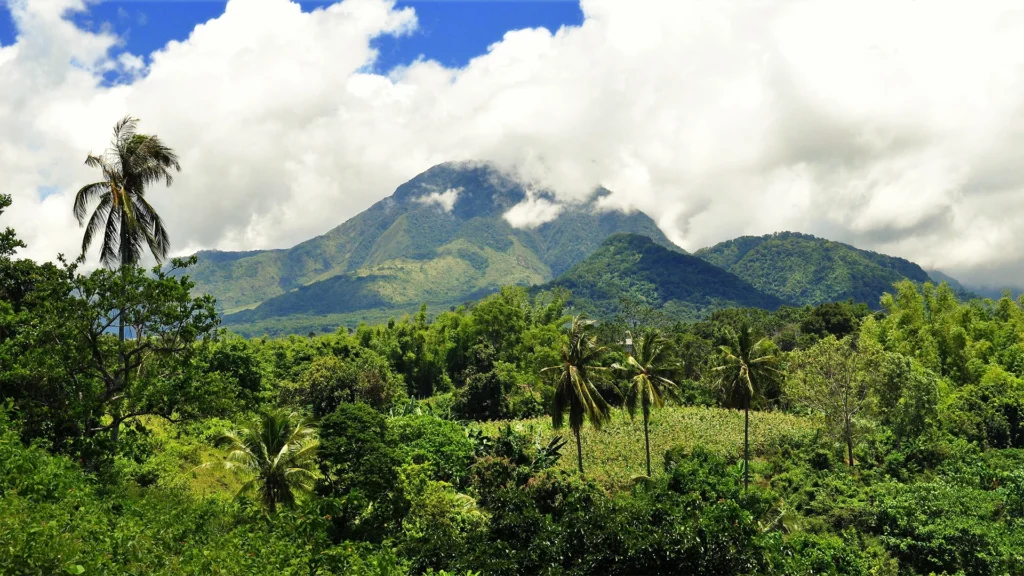
Mount Talinis gives southern Negros Oriental a mountain identity as distinctive as its coastline. Rising inland from Dauin and Valencia, it is the highest peak of the Cuernos de Negros, the mountain complex whose name means the Horns of Negros. Its pointed peaks and forested ridges introduce a different scale to the landscape, drawing the eye away from the shore and towards the island’s interior.
At around 1,900 metres, Talinis offers a substantial mountain experience. Its appeal extends from the silhouette seen from surrounding countryside to the forest, volcanic features and demanding trails encountered on foot. For visitors exploring southern Negros, it provides a reason to look beyond the coast; for those staying longer, it adds depth to the landscape around them.
The Horns of Negros
The name Cuernos de Negros refers to the hornlike peaks that distinguish this mountain landscape. Talinis is its highest point, although everyday descriptions often use the mountain’s name for the wider complex.
That distinction helps explain the attraction. This is a landscape of ridges, slopes and several peaks rather than a single isolated volcanic cone. From outside the mountain, its outline is the defining feature. Within it, the experience becomes more enclosed, with forest trails and occasional openings revealing the surrounding terrain.
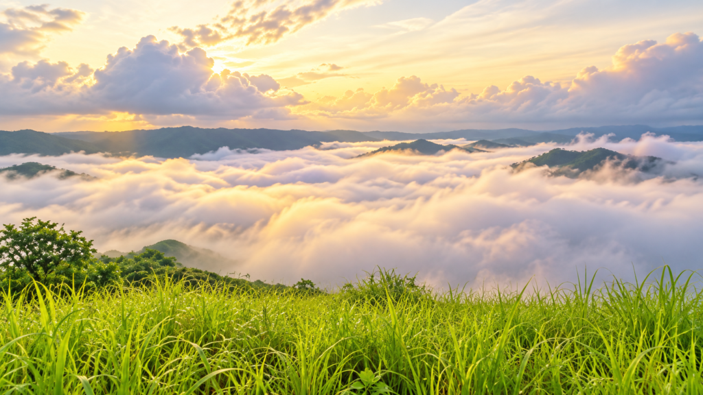
Cloud changes the way this landscape appears. Clear conditions bring the ridges into focus, while mist can conceal the higher ground. A distant view and a walk within the mountain offer different encounters with the same place.
Inside the Mossy Forest
Talinis has a long history as a trekking destination, and accounts of its trails consistently describe mossy forest as one of its most memorable features. Trees, ferns, roots and moss covered rocks give the route a close, textured character.
The interest lies as much in these details as in a distant panorama. A twisted trunk or a fern beside the trail can hold attention where the canopy closes overhead. Mist adds another layer, changing visibility and the appearance of the vegetation.
This forest also shapes the physical experience of walking. Exposed roots, uneven rocks and steep sections require concentration, particularly when wet. Talinis rewards walkers who have time to notice their surroundings and the preparation to move through them comfortably.
A Volcanic Landscape
The Cuernos de Negros is classified as potentially active. Around Talinis, volcanic character is expressed through geothermal features as well as the shape of the terrain.
The Kaipohan sulphur vents, encountered on documented Apolong itineraries, provide a marked contrast with the greener forest sections. Trekking accounts describe pale ground and areas of dead vegetation around the vents. These features make the mountain’s geological character visible within the walking experience.
Crater lakes, including Nailig and Yagumyum, also form part of documented routes. They are features within a larger mountain journey, alongside forest, ridges and geothermal ground. The combination gives Talinis variety without making any one stop the entire reason to climb.
A Journey That Requires Commitment
A Talinis trek is a serious undertaking. Published itineraries commonly spread a traverse over two or three days, using approaches from Dauin and Valencia. The experience can include sustained climbing, camping and sections of rough forest trail.
An overnight journey allows more time to experience the mountain, but still demands fitness and preparation. The appropriate route depends on the group, conditions and current access arrangements. A summit attempt should follow that assessment.
The wider landscape can also be appreciated without committing to the full climb. For someone drawn to mountain scenery, the outline of the Cuernos and its relationship with the surrounding countryside have their own appeal. Entering the forest is a separate choice requiring a properly planned itinerary.
Forest, Water and Energy
Talinis also belongs to a landscape where conservation and energy production meet. Geothermal operations in the wider area use heat beneath the ground, while forest restoration seeks to protect the vegetation and watershed functions above it.
Energy Development Corporation identifies Talinis as a native tree growing site containing some of Negros Oriental’s remaining old growth forest. This adds a further perspective to the mountain: its vegetation has significance beyond scenery and recreation.
For anyone considering time in southern Negros, Talinis contributes both visual character and an opportunity for exploration. Its appeal can begin with a view of the peaks and develop into a deeper interest in forest, geology and the relationship between the mountain and life below.