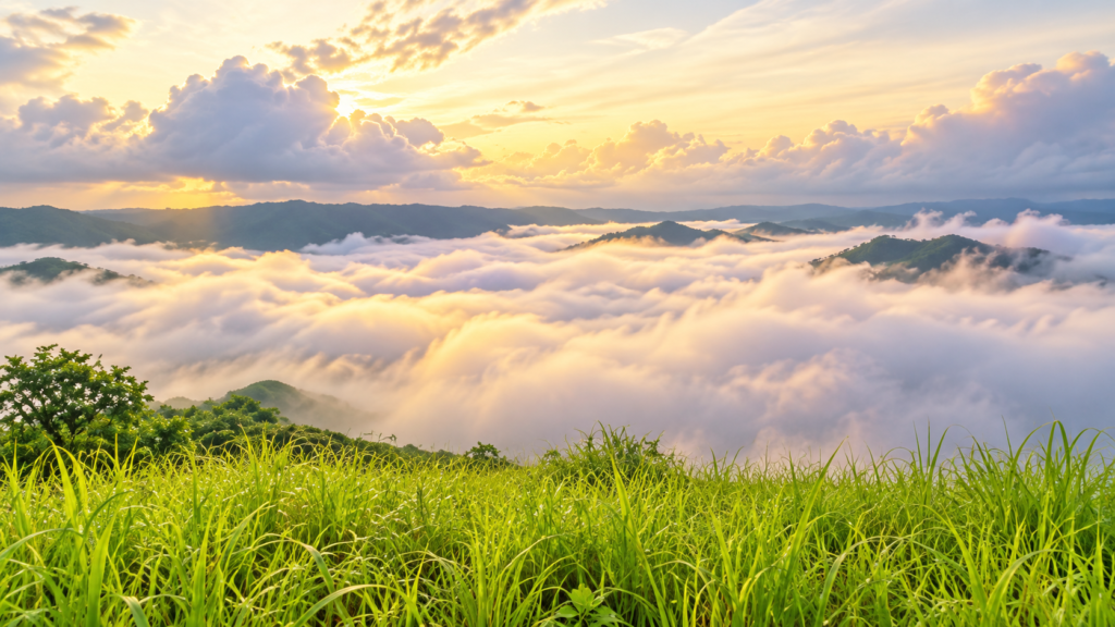
Basay’s Sea of Clouds introduces a different way of seeing Negros Oriental. In Sitio Datag, within Barangay Maglinao, the attraction centres on an elevated view of clouds gathered below the surrounding uplands. When conditions align, the lower landscape disappears beneath a pale layer, leaving higher ground to define the horizon.
The experience draws attention to the interior of a municipality often approached through its coast. Basay occupies the western end of southern Negros Oriental, where agricultural countryside and mountain slopes extend inland from the sea. The cloud spectacle is one reason to explore this landscape, but the setting has a story that continues after the morning clears.
A Landscape Changed by Clouds
A sea of clouds reverses the familiar experience of looking upwards at the weather. From higher ground, the cloud layer becomes part of the landscape below, concealing some features and emphasising others. The effect depends on the height and extent of the clouds relative to the viewpoint.
This makes the experience particularly interesting for photography. A clear foreground gives the scene scale, while exposed hills and the cloud layer create a sense of depth. As light and visibility change, the same view can offer quite different compositions. Spending time watching those changes is part of the attraction.
Clouds are nevertheless a possibility rather than an appointment. A visit may bring an extensive cloud layer, scattered mist or a clear view of the countryside. The destination is best approached with an interest in the landscape itself and enough flexibility to enjoy what the morning reveals.
Understanding the Sea of Clouds
The phrase describes a visual experience rather than one single weather process. Low cloud or fog, seen from above, can resemble a broad expanse of water.
One mechanism is the accumulation of cool, moist air in valleys. Cooler air can collect in lower ground, and water vapour condenses into suspended droplets when the air cools sufficiently. In other situations, moist air cools as it rises over slopes. These processes explain how hills can stand above cloud even without the altitude associated with major mountain summits.
The precise mechanism at Datag has not been established here through local measurements. What matters to the visitor is the interaction between terrain, moisture, temperature and wind. The spectacle belongs as much to the weather as to the viewpoint.
The Countryside Beneath the View
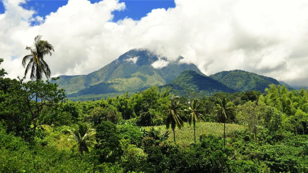
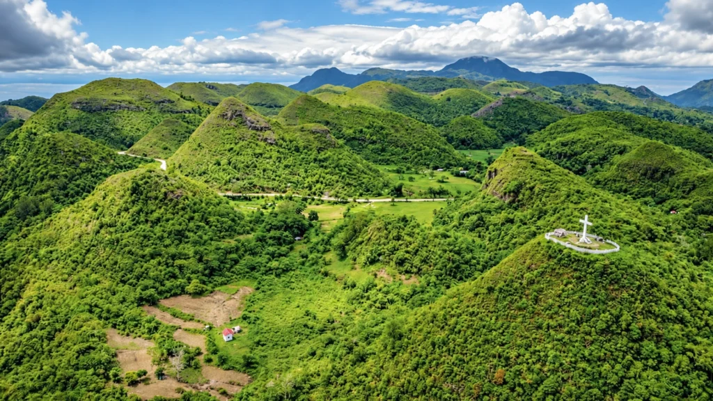
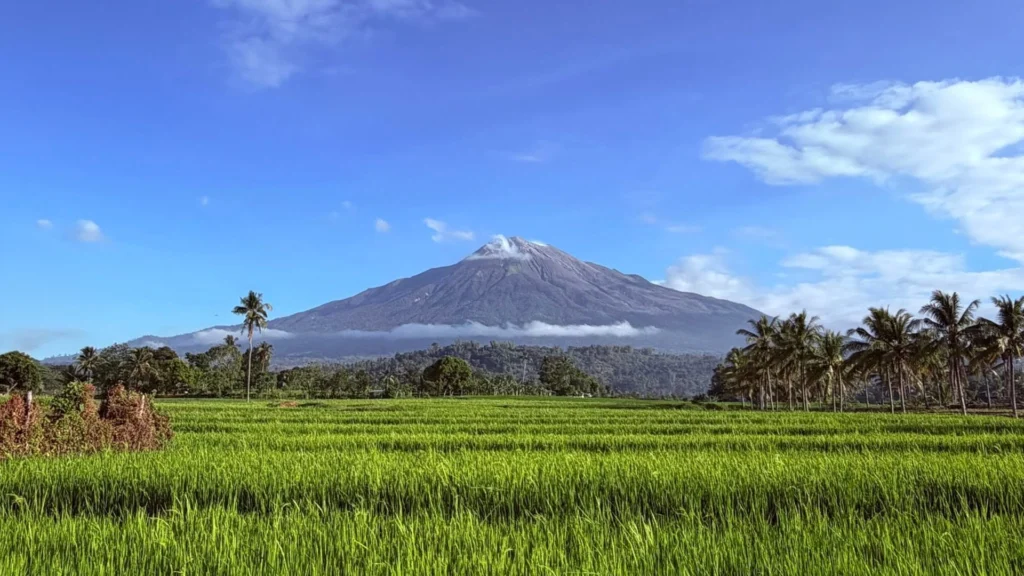
Basay’s surroundings add another perspective to the excursion. Rice, sugar cane and corn fields form part of the municipality’s agricultural landscape, with forested mountains behind its coastal settlements.
Datag itself is a lived locality within Maglinao. Government records document sugarcane farm management training there, placing agriculture within the destination’s immediate context. The hills belong to a working countryside, with communities whose relationship with the land continues beyond its appeal to visitors.
Exploring the area with local knowledge can help turn an attractive view into a better understanding of place. Respect for fields, homes and access routes should be part of that encounter.
Maglinao’s Mining Landscape
Maglinao also contains the remains of a former copper mining operation. Published accounts describe an open pit with striking colours and vegetation, introducing a landscape visibly altered by industrial activity.
This offers a different way to consider the uplands: through the relationship between mineral resources, excavation and subsequent change. The cloud viewpoint and the former mine are separate places, but both contribute to understanding the wider barangay.
The mine should not be assumed to be an accessible extension of any visit. Published guidance identifies private ownership and the need for permission. Anyone interested in including it should establish current arrangements with the municipality before planning an excursion.
Another Reason to Explore Southern Negros
For visitors, Basay adds an atmospheric upland experience to a region often associated with the coast. For someone considering a longer stay, its appeal lies in the opportunity to explore a different setting and return under different conditions.
The most compelling visit combines the immediate impression of the clouds with curiosity about what lies beneath them. Weather, farming and the traces of mining give the landscape several stories to discover, extending its interest beyond a single photograph.